In 2016, the Colombian government signed a peace agreement with the FARC that ended decades of armed conflict in rural areas. One of the main problems that fueled the conflict was the unequal distribution of land, insecurity of tenure, and lack of legal titles. As part of the agreement, the government committed to carrying out agrarian reform aimed at a structural transformation of the agricultural and rural sector, focusing on the formalization of land tenure and the return of land to victims. In addition, a multipurpose national cadastre was needed to provide an updated and transparent land registry, help prevent future land-related conflicts, and facilitate rural communities’ access to credit and resources.
Indigenous, Afro-Colombian, and peasant communities are among the most vulnerable groups in Colombia due to insecure land tenure, which affects their ability to improve their livelihoods and manage natural resources sustainably. The issue of land tenure is complex, as government institutions responsible for cadastral work have been unable to map many rural areas due to, among other things, inefficient and bureaucratic procedures, and vested interests. In addition, the increase in investments by large companies in natural resources has increased the pressure on these territories.
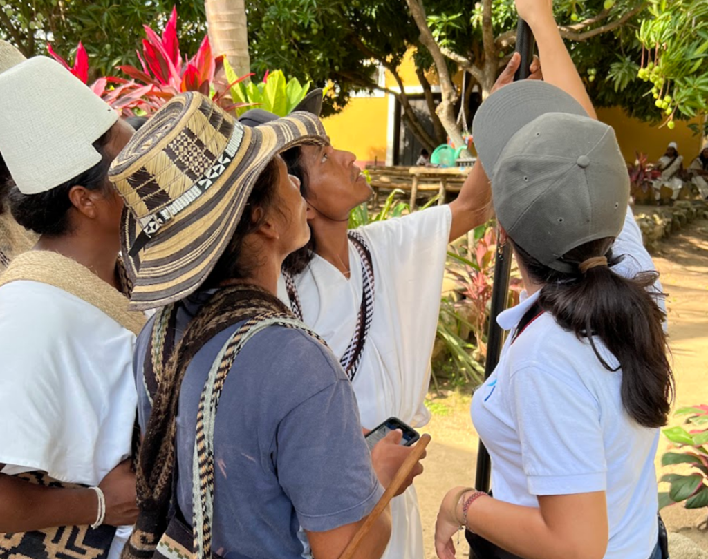
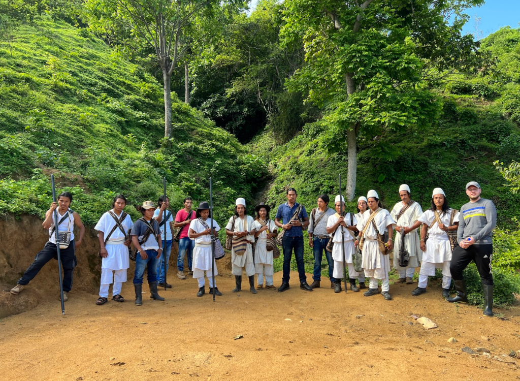
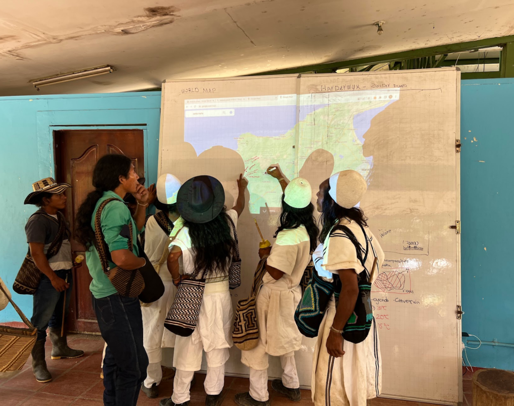
It is against this background that the LAND-at-scale project was initiated, exploring innovative ways to accelerate land formalization processes, through the Fit for Purpose Land Management approach, in an inclusive and sustainable manner. The three areas selected for this project are characterized by very low government involvement in recent years, creating an unstable situation in these rural areas; one of the three communities is that of the Arhuaco Indigenous People of the Sierra Nevada de Santa Marta. Where, at the invitation of the Indigenous Governor, the project is supporting the expansion of lands of the indigenous reservation.
At the invitation of the Arhuaco community governorate of this territory, the LAND-at-scale Colombia project supports the processes of expansion and conservation of the Indigenous territory. Within the LAND-at-scale project, Kadaster, ICCO, Tropenbos work hand in hand with the Arhuaco community in Gunmaku, the Cabildo organization in Santa Marta and the Magdalena Governorate to promote better land governance with a focus on participatory, rapid and efficient methodologies for land administration achieved by the development of local capacities. The project aims to guarantee land tenure, create economic opportunities and promote sustainable management of the local environment in an integrated manner.
Story map: https://storymaps.arcgis.com/stories/3b6510c7e65c4f0f8152797be9480be3
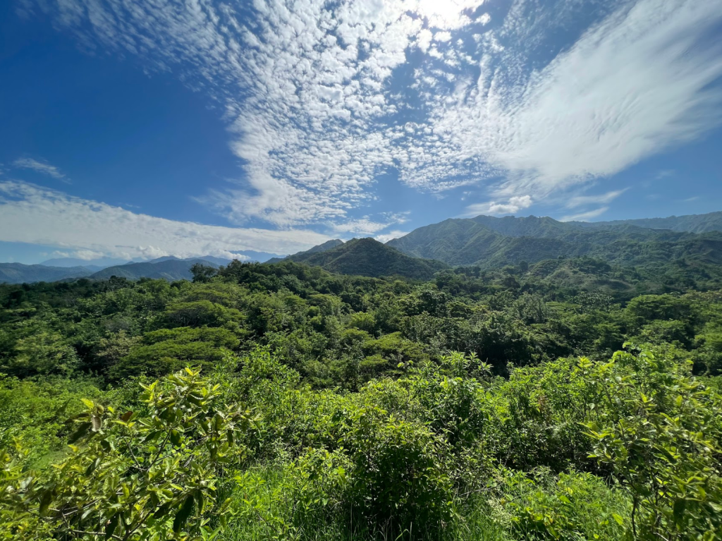
The landscape of the Sierra Nevada de Santa Marta is unique. The Sierra, geographically formed as an isolated formation of another mountain range, is the highest snow-capped formation near the sea, reaching up to 5,775 meters above sea level. The Sierra supplies water to three departments. It is the ancestral territory of five indigenous communities; they call it the Heart of the World, the origin of the world and the place where the sacred energy of nature that inhabits everyone and everything emanates.